From Auckland to Cape Reinga: Where to stop on a one week road trip north of Auckland
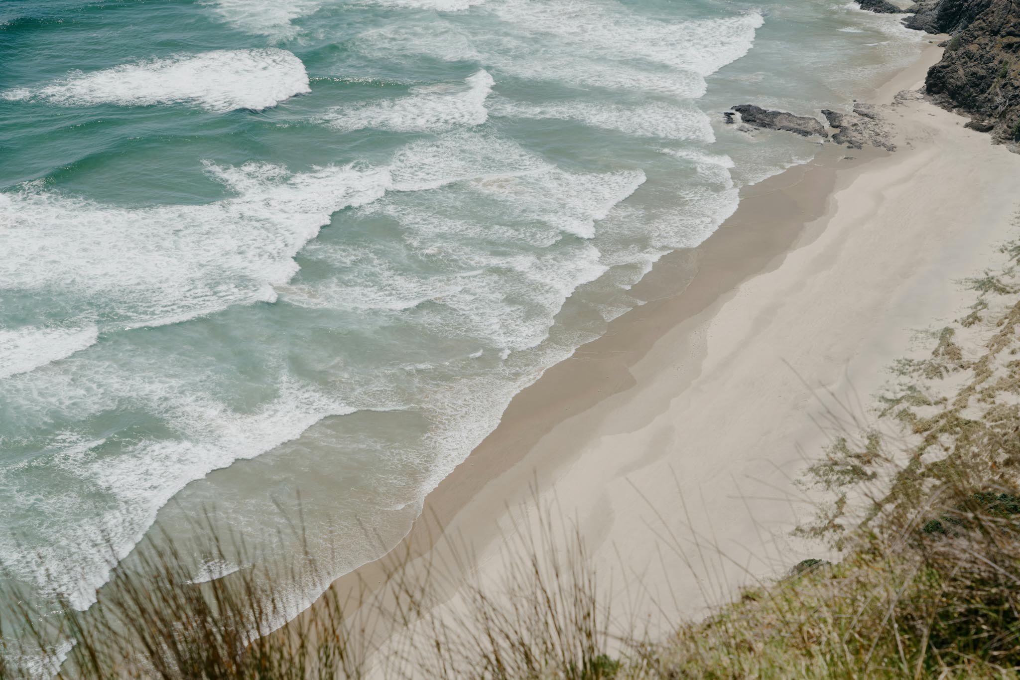
A road trip around Northland will take you on a tour of beaches with white sand so fine it squeaks, giant sand dunes, and the very tip of the country where two oceans meet.
Northland doesn’t have vast tracts of wilderness. There are no major mountain ranges or pointy volcanic peaks. Northland can’t lay claim to any Great Walks.
But. It’s still among my favourite regions in New Zealand.
What Northland does have is subtropical forests and coastal cliffs, wide-open beaches and very few crowds. The deep cultural history of New Zealand’s northernmost region, combined with epic coastal scenery, make it an incredible road trip destination.
This one week itinerary whisks past all of my favourite places to visit. To be honest, it doesn’t do them all justice — if you can resist the temptation of trying to see everything, you would be better off cutting out a few of these places.
Or, take two weeks to do this road trip. Believe me when I say there are more hidden beaches and side quests in Northland than seem possible when looking at a map.
For the adventurous, it is a dream.
Don’t forget to pay your toll as you head north. Don’t be like me and forget or you will also get threatening letters in the mail and admin fees on top of the tolls.
Auckland to Cape Reinga one week road trip itinerary
Day 1: Auckland to Whangarei Heads
Day 2: Whangarei Heads to Matapouri
Day 3: Matapouri to Paihia
Day 4: Paihia to Matai Bay
Day 5: Matai Bay to Cape Reinga
Day 6: Cape Reinga to Opononi
Day 7: Back to Auckland via the Waipoua Forest
I have also done a five day road trip from Auckland to Cape Reinga before too, which looked more like:
Day 1: Auckland to Taupo Bay
Day 2: Taupo Bay to Cape Reinga and Spirits Bay
Day 3: Cape Reinga to Matai Bay
Day 4: Matai Bay to Woolleys Bay
Day 5: Woolleys Bay back to Auckland
I would say you need at least five days to do a road trip up to Cape Reinga justice; there’s just so much to see and do along the way.
Some tips
Step one, rent a car.
My road trip packing list covers most of the things I take with me on these kinds of trips.
Day 1: Auckland to Whangarei Heads
Driving from Auckland to Whangarei heads only takes 2.5 hours without traffic, but honestly you could make this trip take all day.
There are many great places to stop, and if you had more time you could make any of these places an overnight destination in themselves (except the cafe, of course).
Waipu Caves: See glow worms for free, walk in the bush, camp overnight here if you’re in a self-contained van.
Uretiti Beach: I love stopping here, it’s right by the main highway, but the beach is glorious. You can see across to Whangarei Heads from here and again, if you’re in a campervan it’s an awesome place to camp.
The Eutopia Cafe in Kaiwaka. Truly one of the quirkiest and most beautiful little cafes on this stretch of road.
Mangawhai Heads coastal walk: A brilliant cliff walk with a view.
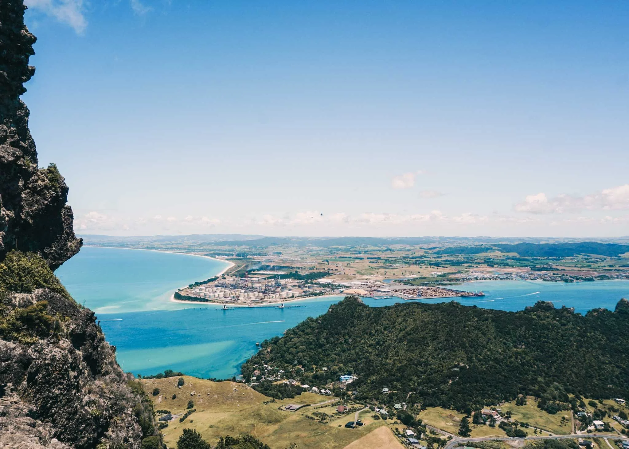
The view from the top of Mt Manaia — Te Whara/Bream head is the forested ridge you can see in the foreground
Around Whangarei Heads, one of the best things to do is the Mt Manaia hike.
The track climbs to a rocky crag which gives you amazing views of the area.
A difficult but very worthwhile walk: Te Whara Track, Whangārei
Te Whara is one of the more challenging walks near Whangārei. It won’t be for everyone, because it is hard. But, if you’re up for it, it’s probably the best hike in Northland.
At seven hours, it is a full day hike featuring steep climbs. The payoff; some of the best views and coastal forest in Northland.
The track runs one way from Ocean Beach to Urquharts Bay, so you’ll need to leave a car at the Urquharts Bay car park before you start the walk.
You’ll start climbing almost immediately, and after ascending through pine forest, open grassland and finally lush native bush, you’ll reach the rocky pinnacle of the Bream Head Summit.
This 360-degree viewpoint is one of the highest points along the coast of Northland; on a clear day, you can see as far north as Cape Brett, and as far south as Tāwharanui.
From here you’ll continue walking along the knife-edge of the ridge, with sweeping views both left and right, before descending steep stairs at the other end of the track.
Day 2: Whangarei Heads to Matapouri
One of my all time favourite camping spots is just over the hill from Matapouri, by Woolleys Bay. It’s a lovely place to park a campervan for the night, just behind the dunes.
It’s not the best swimming beach, though. To swim you should walk to Whale Bay, which is a glorious, sheltered cove.
Day 3: Matapouri to Paihia and the Bay of Islands
Urupukapuka Island Walk, Bay of Islands
The largest island in the Bay of Islands, Urupukapuka makes for a great day outing, easily accessed by Explore ferry from either Russell or Paihia.
The Urupukapuka Island Walk offers stunning views of the Bay. The trail traces the outer edge of the island, passing across cliff tops and skirting quiet bays. Walking the full island circuit takes around five hours.
See if you can spot some of the archaeological sites along the way; there are remains of at least eight pa on the island.
This is also a great place for bird spotting. A pest-free reserve, Urupukapuka is home to North Island robins, saddlebacks and whitehead, as well as brown teal and dotterels.
If one day on the island isn’t enough, pitch a tent at one of the three DOC campsites on the island.
Day 4: Paihia to Matai Bay and the Karikari Peninsula
From the Bay of Islands, carry on up the coast to Whangaroa Harbour.
I woke up before dawn to make it to Ohakiri/St Paul’s Rock track before sunrise. I got to see the mists lifting from the harbour and soft light filtering through to the water below.
I also headed in to the Duke’s Nose track, for more stunning views. This part of the coast looks almost like somewhere you would find in Southeast Asia.
A worthwhile walk: Duke's Nose (Kaiaraara Rocks) Track, Whangaroa Harbour
Climbing Duke’s Nose will give you close to a bird’s eye view of Whangaroa Harbour, a peaceful inlet on the east coast of Northland, north of Kerikeri.
To reach the viewpoint, start walking on the Wairakau Stream Track. This trail passes through regenerating forest to reach Lane Cove Hut, which sits hidden among mangroves right on the edge of the water.
Behind the hut is the track up to Duke’s Nose. The final section is less of a walk and more of a rock climb. The path gives way to sheer boulder faces with metal grab rails running down them for support. It’s a scramble to reach the top and not ideal for anyone suffering from vertigo, but once you haul yourself onto the top of the mighty rock, you’ll be so blown away by the view you’ll forget all about your tired limbs.
From the plateau, you’ll have an unobstructed view of turquoise waters and rocky outcrops that are more reminiscent of South East Asia than Northland.
The walk takes about four hours return, depending on how long you spend at the top of the rocks.
Day 5: Matai Bay to Cape Reinga
State Highway 1 runs aground at Cape Reinga – this is the last stop, for travellers and, for Māori, the spirits of the dead. According to Māori tradition, the departed leap into the underworld from this point, making this the most spiritually significant place in Aotearoa.
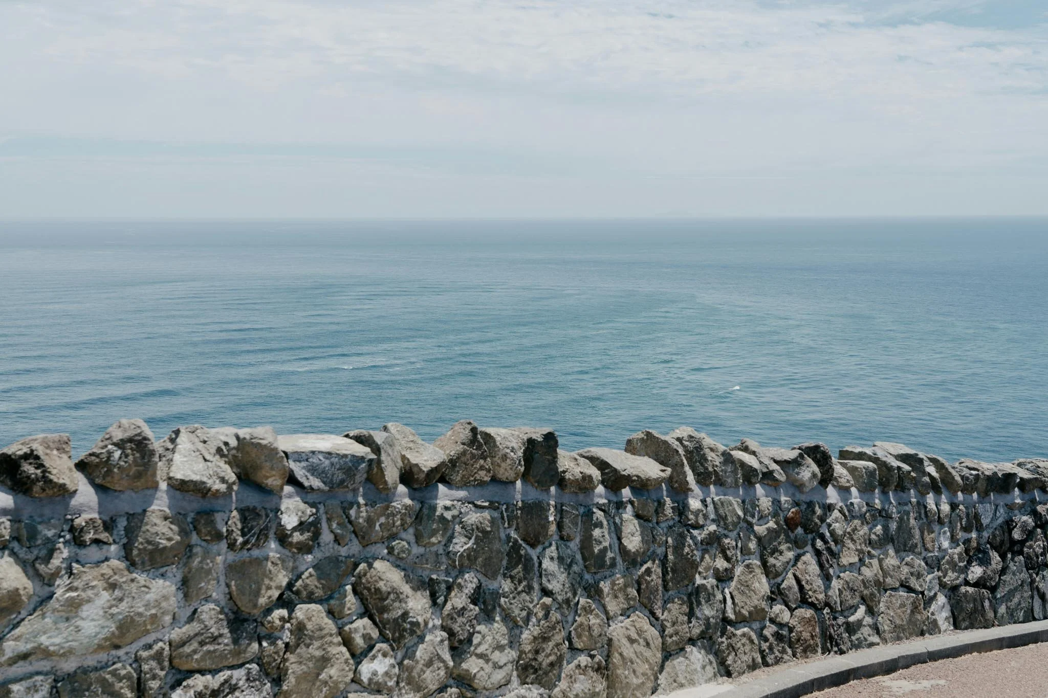
From the Cape Reinga lighthouse, you can see the Tasman and Pacific seas crashing into each other. Gusted by winds, pounded by surf, and surrounded by vast sweeps of sand, the headland of Te Rerenga Wairua, the leaping place of spirits, is a beautifully rugged wilderness.
Day 6: Cape Reinga to Opononi
Waimamaku Coastal Track, Hokianga
The Waimamaku Coastal Track covers a rugged stretch of coast from the Hokianga Harbour down to the Waimamakau River. It follows a historic route travellers used to take before roads were built inland.
Starting from the Arai Te Uru Recreation Reserve near Ōmāpere, the track climbs up and down high bluffs, dipping in and out of beaches and trailing around cliff tops. The views of this remote corner of Northland are extraordinary.
As a 10-kilometre trek in one direction, you will either need to turn around midway or arrange to be picked up at the other end.
A worthwhile walk: Trounson Kauri Park, Kauri Coast
Most people visiting the Kauri Coast make a beeline for Tāne Mahuta. This titan of a tree is a must-see in Northland, but the walk to get there is a mere 10 minutes. If you’re craving a little more adventure, head to Trounson Kauri Park.
The loop path in this off-the-beaten-track reserve leads you through a spectacular stand of ancient kauri. Walking among the giant trunks might be as close as you can get to picturing what Northland’s kauri forests were like, before logging nearly eradicated these incredible trees.
This easy loop walk takes around 40 minutes and is perfect for younger or older family members. Try the walk at night for the chance to spot kiwis in the wild.
If you found this Northland road trip itinerary useful, you might also like to check out my other New Zealand road trips:
AUTHOR BIO
I’m a freelance travel writer from New Zealand with bylines in National Geographic Travel, Conde Nast Traveler, Travel + Leisure and more.
I’ve travelled up and down beautiful Aotearoa and I love sharing my recommendations for the best places to visit in New Zealand.
This post was about:


