A map of all the must see places in the North Island, New Zealand
An interactive map with all of the best places to visit in New Zealand’s North Island
If you’re planning your visit to the North Island, you might want to visualise your route around the (surprisingly large) island.
To help you save time and plan your trip to the North Island, I’ve put together this interactive travel map of must-visit attractions, hidden gems, and hiking trails.
You can also see a map of the South Island.
About this map
This interactive map of the North Island has all of my favourite points of interest.
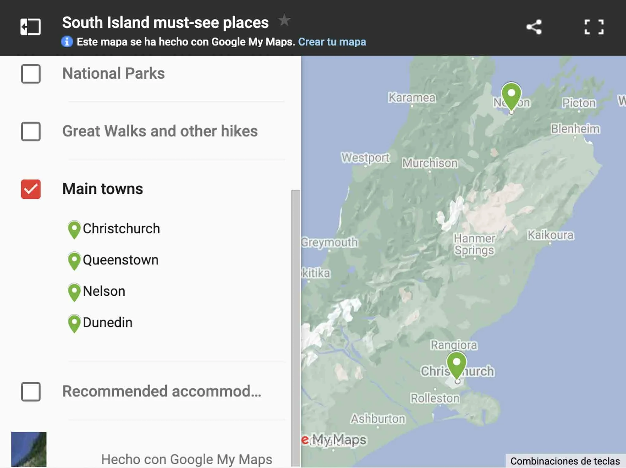
I have used icons and layers to divide up these attractions into categories: hiking trails, national parks, and activities, recommended accommodation and campsites, practical information, and so on.
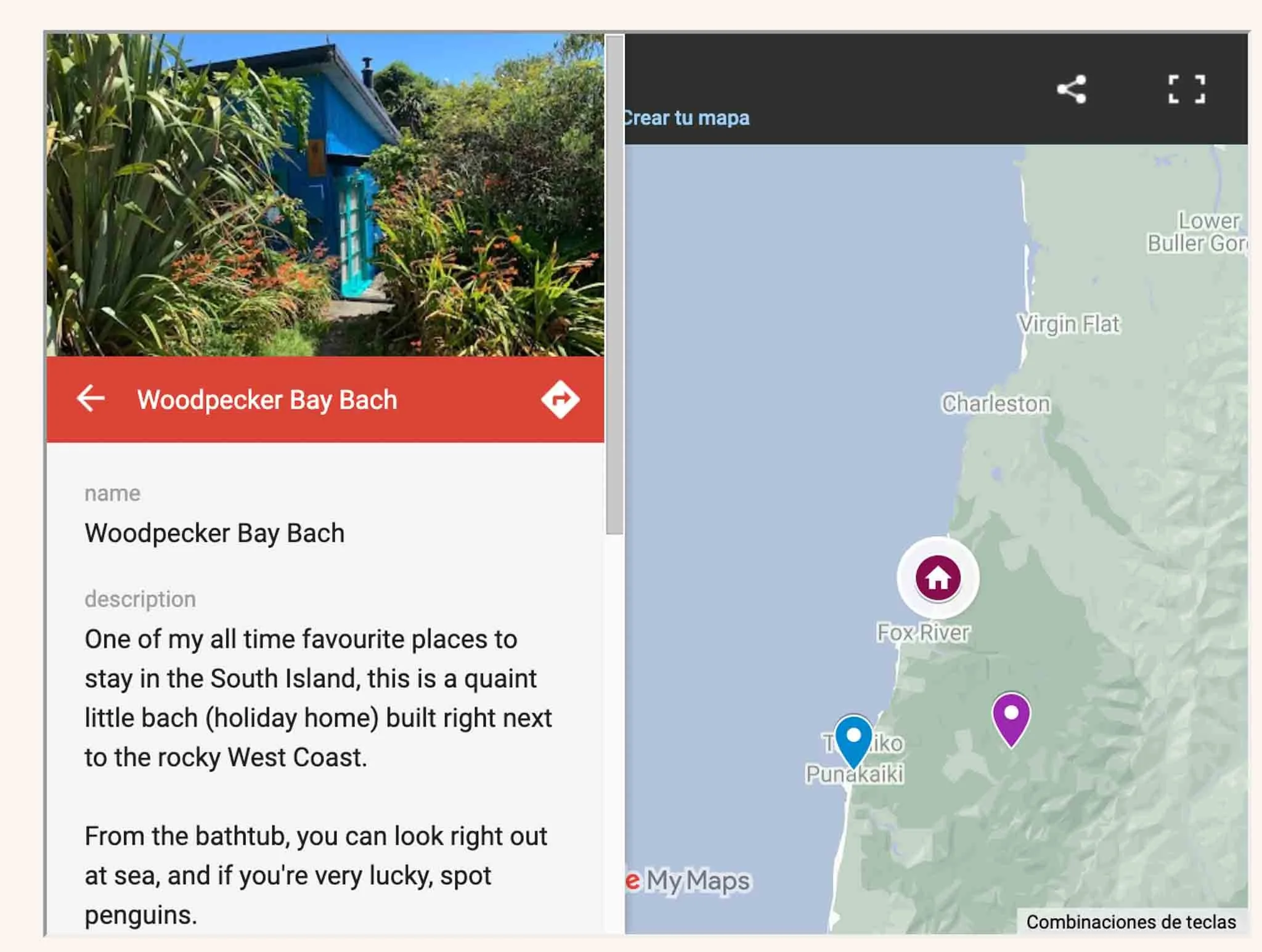
Where possible, I have included a short description, why I recommend that place, and links to official sources of information.
How to use this map
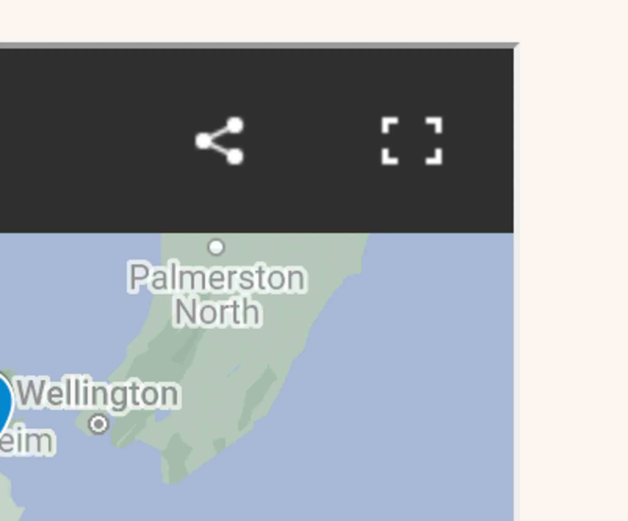
Hit the square in the upper right corner of the map to open it in a separate window (which will make it easier to view):
Click on each icon to see more info — I have added notes on each one with further details:
You can also check or uncheck each layer (for sights, accommodation, and so on) so that you only see pins for one layer:
It can take weeks to drive around the North Island
Most people skip right over the North Island, but if you have
North Island itineraries and driving routes
These are some of my favourite itineraries and destinations around the North Island:
If you found this North Island map useful, you might also like some of my other resources for planning travel around New Zealand:

AUTHOR BIO
I’m a freelance travel writer from New Zealand with bylines in National Geographic Travel, Conde Nast Traveler, Travel + Leisure and more.
I’ve travelled up and down beautiful Aotearoa and I love sharing my recommendations for the best places to visit in New Zealand.